May 18, 2023
MEHNIUP NATURE RESERVE HIKE
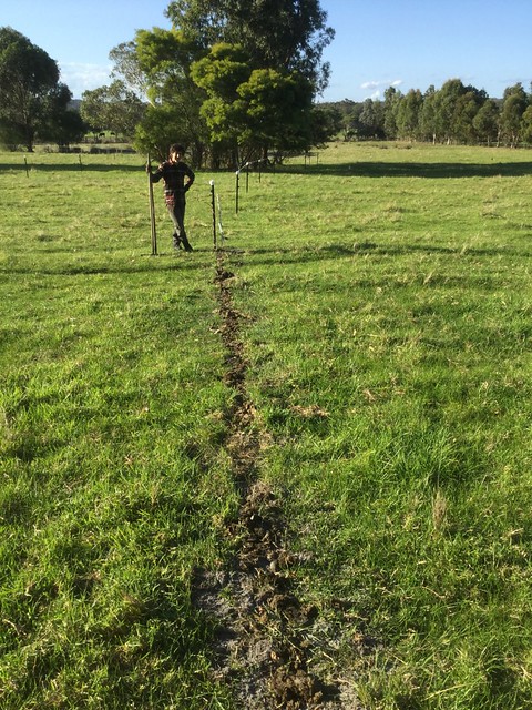
From late February to mid-May I have been incredibly occupied with a long overdue farm fencing repair and upgrade. Finally, there is a proper wire carrying a consistent voltage on outriggers along the entire road boundary, and proper wire in what used to be turbobraid-only internal fencing, now significantly extended to provide exclusion fencing for additional wildlife corridor/shelter belt planting this winter. This should be the end of constant fence failures when the cattle graze the NW section of our 10-hectare pasture strip, and the finish of endless fence repairs.
In the process I manually removed and banged in dozens of 6-foot star pickets in an area underlain with gravelly subsoil and ironstone, and ended up looking like a gym junkie. There are now also over half a dozen new kangaroo gates in our boundary to provide additional wildlife crossings. Mysteriously, my appetite for long hiking adventures diminished during those months, and we stuck mostly to shorter familiar hikes on our days out.
On Thursday, we celebrated the end of a major stage of this fencing work with a hike somewhere new to us. Mehniup Nature Reserve sits south of the South Coast Highway between William Bay and Bow Bridge. It is at the very end of the Kent River Catchment, which I knew well from my professional environmental work in the mid-90s. Remembering the ravages of land degradation and salinisation of the agricultural north of this catchment, it felt good to walk in a healthy uncleared section of it along the coastal stretch.
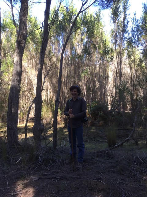
It also, by the way, felt good to do a symbolic hair colour (back to chocolate) the very evening we finished that main stage, and after being feral for months, to get back into clothes that weren’t tattered – and to be clean, shiny and presentable again. This was just before we left to go on our hike.
As we had the camera out, I am taking the opportunity to show off one of our Turks’ Turban pumpkins (a favourite heirloom variety from our garden) and that I am currently “peak arm” after months of fencing work.
And now, to the actual walk! Here’s a context map for the geography of Mehniup Nature Reserve, and a close-up showing the tracks we covered on our exploratory walk.
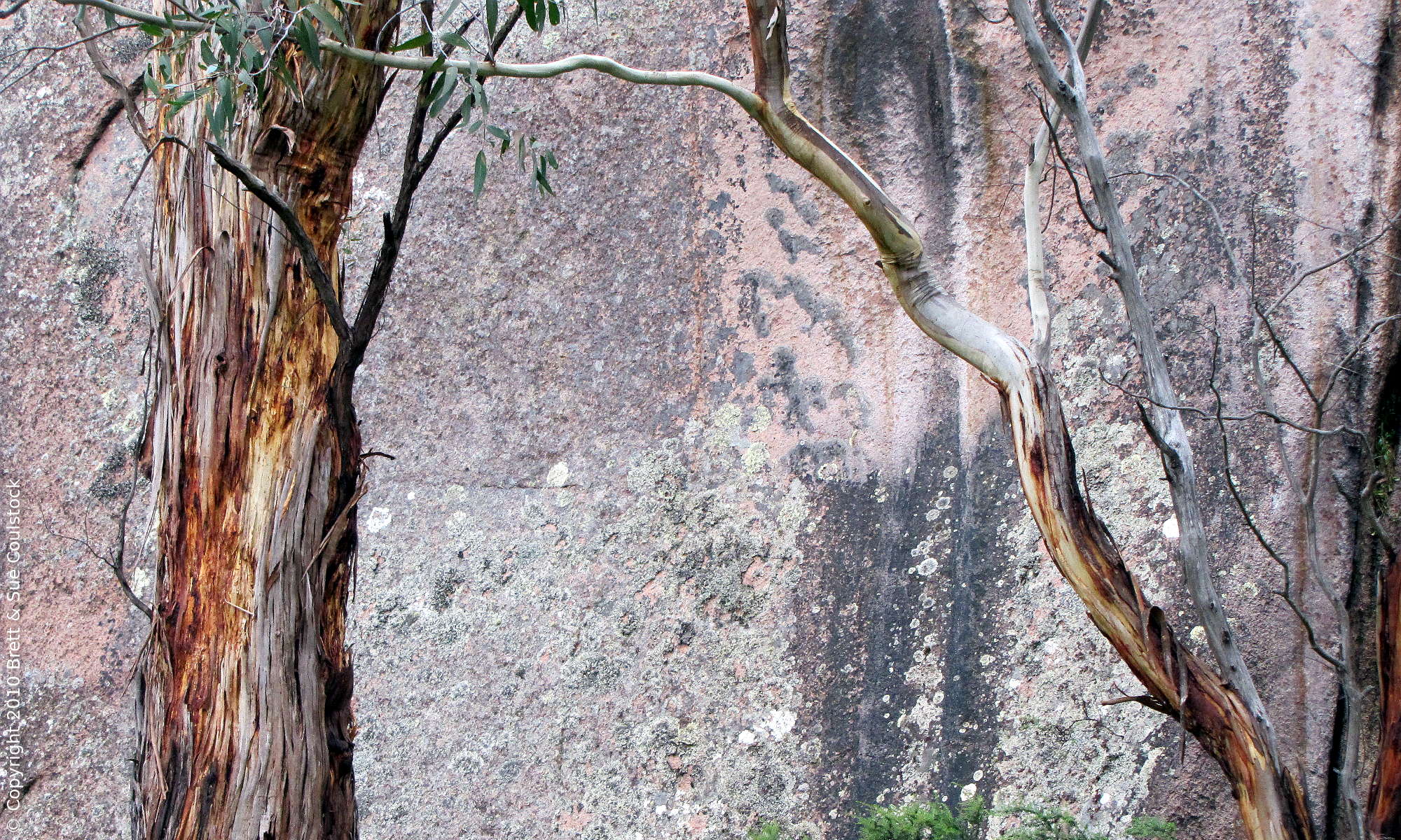
Mehniup Nature Reserve is mostly high-rainfall forest and granite. The monadnock after which it is named sits in the southwest of the reserve, an ancient sentinel of billion-year-old rock. We have seen it from the highway countless times in passing. Brett has long been curious to go explore there.
Today all the metaphorical planets aligned correctly for this purpose. When you have no or low expectations, you can get a pleasant surprise. For a first venturing into this reserve we decided to walk its southern and western boundaries and see if the diagonal path back could be found from there.
It’s often dull to walk on edges of bushland rather than through the middle, but the southern boundary track was instantly inviting. The ground was springy, the trees provided shade, the breeze carried fragrances of earth and forest, the flora was wonderful, and even the farmland next door wasn’t too bad – not a monoculture and not too geared towards profit and production; plenty of trees. Like us, they let sedges and various perennial grasses grow instead of farming highly productive, high-input annuals that are more mining than agriculture.
(By the way – many people will nod about not wanting the whole countryside geared towards profit and production, but not understand that they are supporting the practice by buying cheap groceries, excessively packaged products requiring woodchip plantations etc. If you want to support high environmental, animal welfare and social standards, be prepared to pay around twice as much for your food, to become a locavore, and to cut out your luxuries, if you can even afford any. All the food producers I know who have high standards can’t live off their farm income and either have investments or at least one person working off-farm to pay bills. This is not how it was two generations ago, and neither did people fly overseas constantly or, for that matter, have a houseful of electric gadgets – and now average people can’t imagine living without electricity or cars, even though these are devastating the planet and for tens of thousands of years humans got by fine without them.)
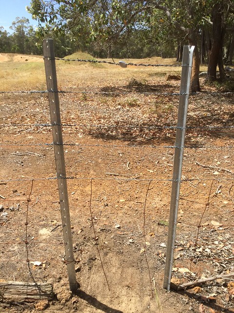
One of the first things I did on this hike was to look closely at the adjoining farm fencing – just as when we were building our house I looked at the construction aspects of every building I encountered. I also spent time appreciating the beautiful, dense, diverse remnant vegetation to the right of us, and the gorgeously organic shapes of the eucalyptus branches.
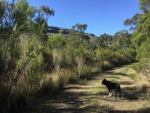
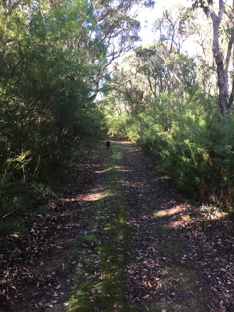
The path was very pleasant underfoot. Even though it was a service track for reserve management, and a firebreak, the soil wasn’t exposed or churned up and there were leaves scattered thickly on the surface in many places.
The dog said, “Oh, a new place, my world is getting bigger!”
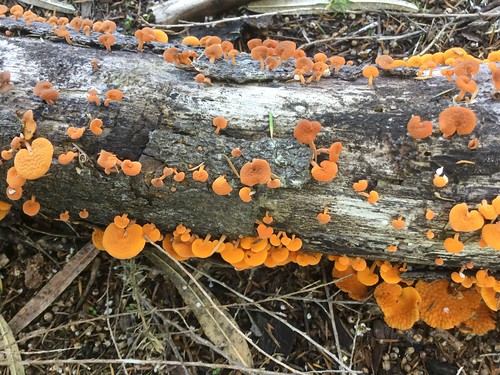
There were many fungi fruiting on this shady, moist side of the reserve.
To the south of the reserve there was now a tall, thick stand of what looked like giant tea trees, but were probably an ecotype of Agonis juniperina. I did not stop to look at foliage and classify.
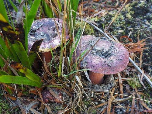
Life was everywhere we looked, like these fungi bursting from a fallen branch, making a splash of beauty while decomposing the wood into humus.
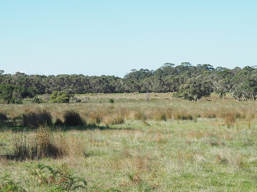
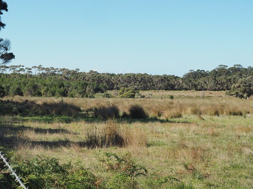
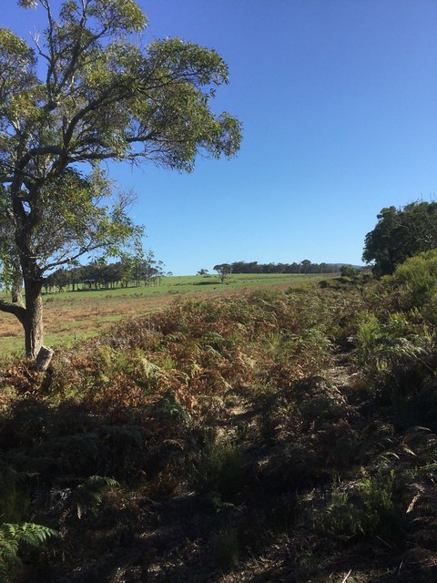
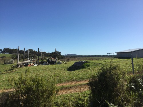
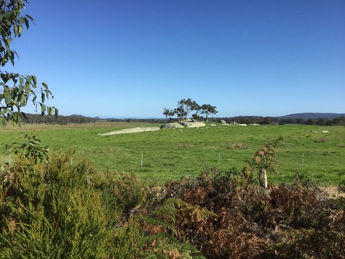
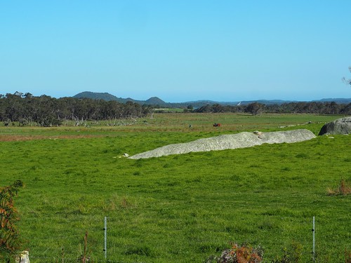
Some photography of the farmland to the south of the reserve:
Allowing sedges, ferns, bushes, and other perennials in the pasture area (while protecting the remnant patches of uncleared native vegetation as sacrosanct) makes for more biodiversity and wildlife habitat, better soil conservation and stock shelter, and a more beautiful landscape – yet the push is to convert increasing areas of these synthetic grasslands into “improved pastures” of mostly high-production pasture species, to maximise short-term livestock gains and therefore profits – or even worse, to turn any suitable areas into soil-destroying tilled croplands which exterminate most other life forms in the cropping area, just by being tilled croplands – and that’s before we even think about the herbicides and pesticides used to grow modern crops, and the fossil-fuel guzzling production type it represents.
This is the thinking that continues to locally and globally exterminate wildlife, at ~200 species a day – as obviously is the idea that it’s OK to bulldoze a natural ecosystem in the first place and replace it with synthetic grasslands, annual monocrops, and suburban expansion – i.e. expansion of human numbers and consumption levels, at the expense of all other species, as if we (and financial profits) are more important than any other species, which we are not.
We should not even have to argue that these areas are sacrosanct and need protecting, but Indigenous cultures and biologists have been ignored for many decades on this matter, as in our ecocidal society, the roost is ruled by the profiteers and the expansionists (“growth growth growth, growth is good” – says the cancer).
And now to some hiking matters. We all know about blisters and fatigue and how to prevent falling prey to them, but what about random malfunctions? Just as I was coming back out of these woods after a small reconnaissance of a wildlife track, I was suddenly as completely lame on my left foot as I had been sound seconds before. There was no mis-step, no stone in my boot, nothing to explain it – just a sharp pain in a part of the ball of my foot when putting weight on it.
The pain was near or in the joint between the fourth metatarsal and the fourth proximal phalange. It was hard to tell if it was a joint pain or in the overlying soft tissue. It hurt to put pressure on it, but I did move the foot bones around in relation to each other in case a ligament had gotten caught somewhere or there was a local circulation problem. I did actually break the centre three metatarsals of that foot back in 2018, in a freak fall with a bad landing, but they recovered very quickly and didn’t cause any residual pain even on all-day hikes, so it’s unlikely to be related to that.
At which point, I revert to my standard explanation for sudden sharp idiopathic pain anywhere in my body: Someone somewhere has a voodoo doll of me, and they are entertaining themselves with a bout of needle-sticking, of which they will soon get bored.
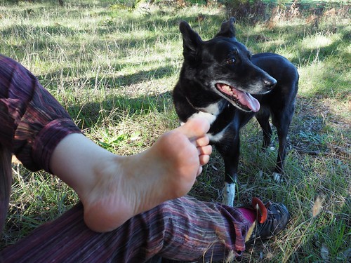
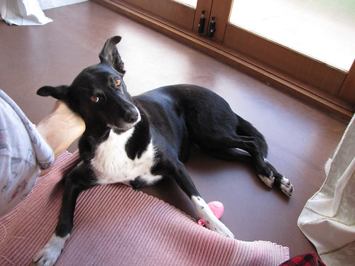
Jess is a cutie. She can tell if I’m in pain and will stick by me in such a case until I’m back to normal activities. This meant that when I broke my foot that time, she didn’t leave the house much at all for weeks, even though at that point in her life she was usually asking to be let out to mind the stock at the crack of dawn and not interested in returning until sunset. But at that time, instead, she sat on the bedside mat next to me, or supervised me in the living area – until I was better.
I swore to do the same by her; she’s been getting arthritis injections to improve joint self-lubrication and repair cartilage for nearly two years and I make her a pillow cubby when she’s sleeping on the sofa, to keep her warm – she loves her pillows.
Soon we were off again, to the double delight of the dog.
In the lower-lying areas, the ants had made the typical tall above-ground nests that take them above the water level. You won’t find them making the same unsuccessful flood-prone habitations all over again like suburbanites on floodplains after major floods. See – ants don’t make the mistakes that modern humans do, expecting to adapt the environment to themselves instead of vice versa. Modern humans are the odd ones out, thinking they are so clever while doing the dumbest things – and also the most destructive things, mostly blithely as if sleepwalking, some of them on purpose because they are psychologically diseased.
We were now turning the southwest corner of the Mehniup Nature Reserve perimeter trail.
There were more ant habitations. Brett took this lovely mushroom study with his good camera – I was taking mostly context snaps and occasional close-ups with the iPod.
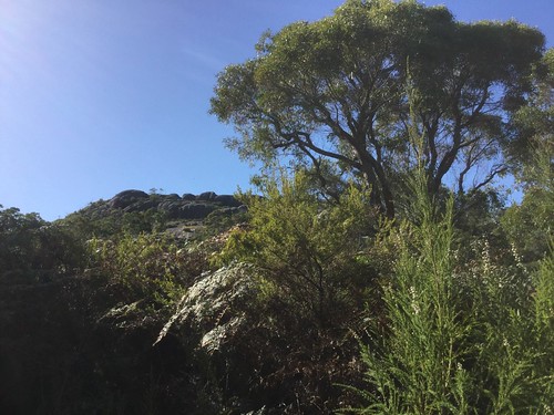
We went a little way up the track that runs south of Mt Mehniup to get some pictures of the monadnock.
We then retraced our steps and continued along the western perimeter track, where we soon encountered old and new farm buildings belonging to the land west of the reserve.
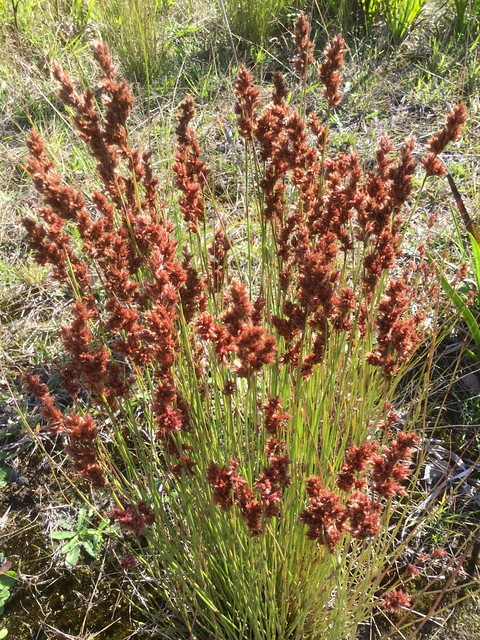
I don’t know why most people aren’t excited by the native flora. Even the seedheads on these reeds are amazing.
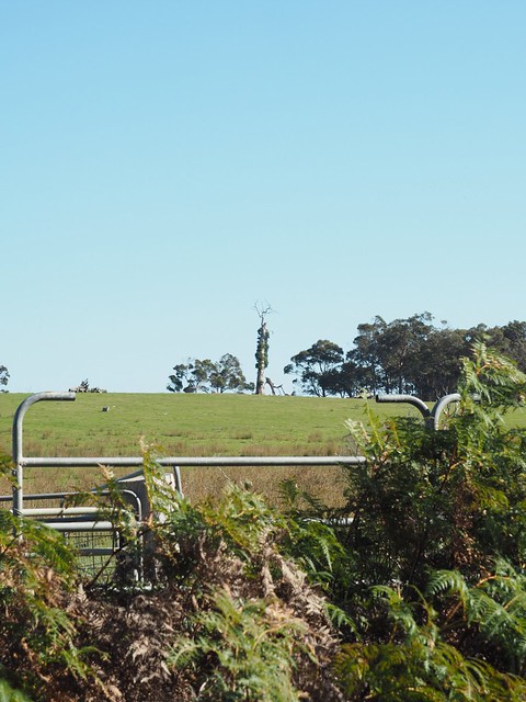
Brett noticed epicormic growth on one of the distant eucalypts in the pasture. This is usually a method of growing new branches from under the bark of the trunk and surviving main branches when the old ones have been completely destroyed in a bushfire, but can also help trees regenerate after other trauma.
There were some dykes running across the landscape.
In that last photo you can see the landscape around the Irwin Inlet crossing, where we walked to recently from Peaceful Bay – regular readers will remember the canoes from the photos of that instalment.
Near the farm’s residential buildings were avenues of farm trees.
Views to the east of this track back into the reserve next, near where there was allegedly a diagonal track to take us back to our starting point. The map, however, was drawn up 20 years ago so you never know if you are going to find those tracks or if their maintenance has been abandoned.
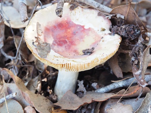
Brett did more lovely fungal studies.
At my request he did a few telephoto shots of the Irwin Inlet crossing area we’d walked to on the recent hike linked to above.
We continued to walk the western track nearly to the South Coast Highway, but then abandoned the unsuccessful search for the diagonal track and retraced our steps. Later at home, Brett looked at Google Earth, on which there is no obvious track, although it’s possible that remnants of it exist and have become more like overgrown animal tracks. Next time we’re out there we will have a look – the open area with the granite reef pictured below the fungal studies is where the old track would have started.
The last lot of photos are from the track leading past Mt Mehniup, which runs parallel to the southern boundary track we had walked in on. We returned on this track as an alternative route.
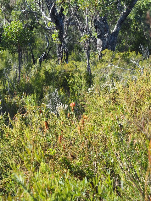
The Beaufortias are still out in places, glowing like bioluminescent underwater creatures in the thick undergrowth of the Mehniup woodland.
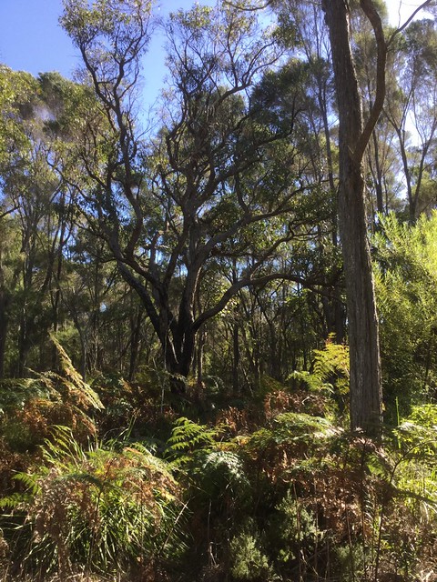
There was a most beautiful eucalyptus tree I went into the undergrowth to photograph parts of, just to show how our own concepts of what a tree should look like are often way off base when you see what happens in nature, where trees plant themselves and nobody ties them to stakes – they are simply shaped by natural forces like gravity, wind, rain, and the millions of other living things sharing aboveground and underground space in their immediate vicinity (the ones most people from our culture wouldn’t blink an eye to obliterate for another suburban subdivision or agricultural field – just as genocidal people don’t blink about obliterating human beings from another cultural group for their own gain).
Just look at the main trunk of that tree and where it went, and the side shoots that became vertical trunks, and the beauty of all of that together, left to be shaped naturally in its own biological community and to evolve in its own directions in response to its interactions – compared to a tree in a park, planted and shaped by Homo colossus.
The Mehniup area is a beautiful place – we plan to come back to take another look and explore further, when the spring wildflowers are out.
